 vesseltracker.com
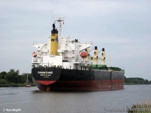
Vessel PANOCEANIS IMO: 9460320, MMSI: 538012328 Bulk Carrier
UTC, 14.38633, -71.79397, course: 47, speed: 9.8
UTC, 14.57497, -71.62743, course: 46, speed: 9.4
2026-02-25 08:03:53 UTC, 14.86078, -71.36228, course: 53, speed: 10
Live AIS position:
UTC. 158 nm NW of Palm Beach),
updated 2026-02-25 08:03:53 UTC.
Find the position of the vessel PANOCEANIS on the map. The latter are known coordinates and path.
marine traffic ship tracker show on live map
The current position of vessel PANOCEANIS is 14.86078 lat / -71.36228 lng. Updated: 2026-02-25 08:03:53 UTCCurrently sailing under the flag of Marshall Islands
Details:
Last coordinates of the vessel:
UTC, 14.09685, -72.07080, course: 51, speed: 10.3UTC, 14.38633, -71.79397, course: 47, speed: 9.8
UTC, 14.57497, -71.62743, course: 46, speed: 9.4
2026-02-25 08:03:53 UTC, 14.86078, -71.36228, course: 53, speed: 10