 vesseltracker.com
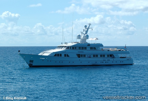
Vessel Explora IMO: 1007342, MMSI: 538071191 Yacht
UTC, -35.17231, 174.22482, course: 75, speed: 9.8
UTC, -35.25871, 174.55571, course: 126, speed: 9.7
2026-02-13 13:42:27 UTC, -35.42549, 174.84840, course: 174, speed: 9
Live AIS position:
UTC. 30 nm NE of MARSDEN POINT),
updated 2026-02-13 13:42:27 UTC.
Find the position of the vessel Explora on the map. The latter are known coordinates and path.
marine traffic ship tracker show on live map
The current position of vessel Explora is -35.42549 lat / 174.84840 lng. Updated: 2026-02-13 13:42:27 UTCCurrently sailing under the flag of Marshall Is
Details:
Last coordinates of the vessel:
UTC, -35.22924, 174.20032, course: 333, speed: 0UTC, -35.17231, 174.22482, course: 75, speed: 9.8
UTC, -35.25871, 174.55571, course: 126, speed: 9.7
2026-02-13 13:42:27 UTC, -35.42549, 174.84840, course: 174, speed: 9