 vesseltracker.com
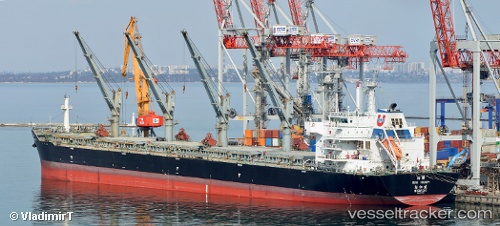
Vessel KARDAM IMO: 9474668, MMSI: 538090703 Cargo
UTC, 47.38270, -7.06978, course: -1, speed: 8.1
UTC, 47.21496, -7.21614, course: -1, speed: 9.1
2026-02-28 01:26:37 UTC, 46.97628, -7.42134, course: 211, speed: 8.2
Live AIS position:
UTC. 44 nm NE of Boboras),
updated 2026-02-28 01:26:37 UTC.
Find the position of the vessel KARDAM on the map. The latter are known coordinates and path.
marine traffic ship tracker show on live map
The current position of vessel KARDAM is 46.97628 lat / -7.42134 lng. Updated: 2026-02-28 01:26:37 UTCCurrently sailing under the flag of Marshall Islands
Details:
Last coordinates of the vessel:
UTC, 47.63924, -6.84358, course: 212, speed: 7.8UTC, 47.38270, -7.06978, course: -1, speed: 8.1
UTC, 47.21496, -7.21614, course: -1, speed: 9.1
2026-02-28 01:26:37 UTC, 46.97628, -7.42134, course: 211, speed: 8.2