 vesseltracker.com
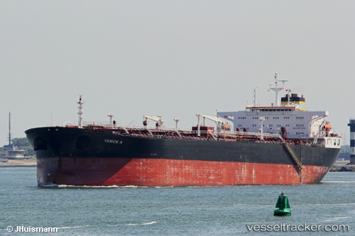
Vessel FINA A IMO: 9283306, MMSI: 550071125 Crude Oil Tanker
UTC, 33.03152, 28.63653, course: 64, speed: 1.1
UTC, 33.01833, 28.70500, course: -1, speed: 1
2026-02-27 10:08:57 UTC, 33.00500, 28.73833, course: -1, speed: 1
Live AIS position:
UTC. 122 nm N of Hamra),
updated 2026-02-27 10:08:57 UTC.
Find the position of the vessel FINA A on the map. The latter are known coordinates and path.
marine traffic ship tracker show on live map
The current position of vessel FINA A is 33.00500 lat / 28.73833 lng. Updated: 2026-02-27 10:08:57 UTCDetails:
Last coordinates of the vessel:
UTC, 33.03974, 28.59126, course: 83, speed: 1.3UTC, 33.03152, 28.63653, course: 64, speed: 1.1
UTC, 33.01833, 28.70500, course: -1, speed: 1
2026-02-27 10:08:57 UTC, 33.00500, 28.73833, course: -1, speed: 1