 vesseltracker.com
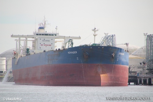
Vessel DESTAMAR IMO: 9253894, MMSI: 550071160 Crude Oil Tanker
UTC, 36.77714, 3.06549, course: -1, speed: 0.2
UTC, 36.77720, 3.06547, course: -1, speed: 0.2
2026-02-23 17:55:43 UTC, 36.77720, 3.06549, course: -1, speed: 0.1
Live AIS position:
UTC. Near Algiers),
updated 2026-02-23 17:55:43 UTC.
Find the position of the vessel DESTAMAR on the map. The latter are known coordinates and path.
marine traffic ship tracker show on live map
The current position of vessel DESTAMAR is 36.77720 lat / 3.06549 lng. Updated: 2026-02-23 17:55:43 UTCDetails:
Last coordinates of the vessel:
UTC, 36.77718, 3.06548, course: -1, speed: 0.1UTC, 36.77714, 3.06549, course: -1, speed: 0.2
UTC, 36.77720, 3.06547, course: -1, speed: 0.2
2026-02-23 17:55:43 UTC, 36.77720, 3.06549, course: -1, speed: 0.1