 vesseltracker.com
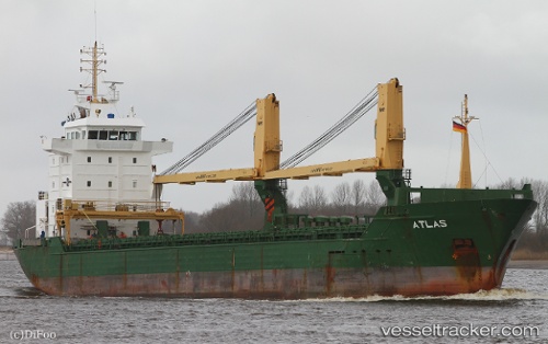
Vessel SALAMANDER IMO: 9362815, MMSI: 553111983 General Cargo Ship
UTC, -4.87220, 145.86453, course: 347, speed: 4.5
UTC, -4.70712, 145.72356, course: 314, speed: 4.8
2026-01-30 15:47:37 UTC, -4.63631, 145.64563, course: 313, speed: 5.1
Live AIS position:
UTC. 19 nm W of Karkar Is),
updated 2026-01-30 15:47:37 UTC.
Find the position of the vessel SALAMANDER on the map. The latter are known coordinates and path.
marine traffic ship tracker show on live map
The current position of vessel SALAMANDER is -4.63631 lat / 145.64563 lng. Updated: 2026-01-30 15:47:37 UTCCurrently sailing under the flag of Papua New Guinea
SALAMANDER built in 2006 year
Deadweight:
7749 tDetails:
Last coordinates of the vessel:
UTC, -5.05612, 145.87151, course: 358, speed: 5.3UTC, -4.87220, 145.86453, course: 347, speed: 4.5
UTC, -4.70712, 145.72356, course: 314, speed: 4.8
2026-01-30 15:47:37 UTC, -4.63631, 145.64563, course: 313, speed: 5.1