 vesseltracker.com
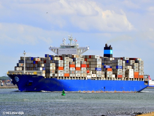
Vessel Maersk Sirac IMO: 9725718, MMSI: 563002100 Container Ship
UTC, -14.96310, 66.68363, course: 228, speed: 15
UTC, -15.31462, 66.15976, course: 232, speed: 14.7
2026-02-21 13:31:48 UTC, -15.46449, 65.94132, course: 231, speed: 14.6
Live AIS position:
UTC. 292 nm NE of Port Mathurin),
updated 2026-02-21 13:31:48 UTC.
Find the position of the vessel Maersk Sirac on the map. The latter are known coordinates and path.
marine traffic ship tracker show on live map
The current position of vessel Maersk Sirac is -15.46449 lat / 65.94132 lng. Updated: 2026-02-21 13:31:48 UTCDetails:
Last coordinates of the vessel:
UTC, -14.72253, 67.01073, course: 229, speed: 14.5UTC, -14.96310, 66.68363, course: 228, speed: 15
UTC, -15.31462, 66.15976, course: 232, speed: 14.7
2026-02-21 13:31:48 UTC, -15.46449, 65.94132, course: 231, speed: 14.6