 vesseltracker.com
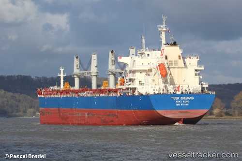
Vessel Drogba IMO: 9724001, MMSI: 563043600 Bulk Carrier
UTC, -31.89603, 15.24577, course: 319, speed: 11.1
UTC, -31.51716, 14.87266, course: 322, speed: 10.7
2026-02-27 12:28:08 UTC, -31.25472, 14.61220, course: 321, speed: 9.7
Live AIS position:
UTC. 152 nm SW of Koiingnaas),
updated 2026-02-27 12:28:08 UTC.
Find the position of the vessel Drogba on the map. The latter are known coordinates and path.
marine traffic ship tracker show on live map
The current position of vessel Drogba is -31.25472 lat / 14.61220 lng. Updated: 2026-02-27 12:28:08 UTCCurrently sailing under the flag of Singapore
Details:
Last coordinates of the vessel:
UTC, -32.18662, 15.56625, course: 316, speed: 11UTC, -31.89603, 15.24577, course: 319, speed: 11.1
UTC, -31.51716, 14.87266, course: 322, speed: 10.7
2026-02-27 12:28:08 UTC, -31.25472, 14.61220, course: 321, speed: 9.7