 vesseltracker.com
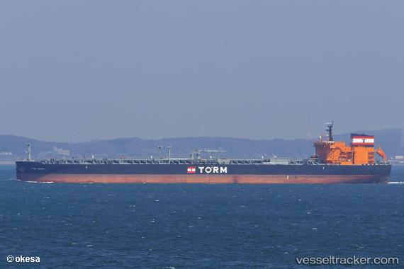
Vessel Torm Hermia IMO: 9797993, MMSI: 563047500 Crude Oil Tanker
UTC, 25.44270, 55.02671, course: 310, speed: 0
UTC, 25.44236, 55.02596, course: 333, speed: 0
2026-02-10 01:46:06 UTC, 25.44241, 55.02599, course: 332, speed: 0
Live AIS position:
UTC. 17 nm NW of Free Port),
updated 2026-02-10 01:46:06 UTC.
Find the position of the vessel Torm Hermia on the map. The latter are known coordinates and path.
marine traffic ship tracker show on live map
The current position of vessel Torm Hermia is 25.44241 lat / 55.02599 lng. Updated: 2026-02-10 01:46:06 UTCDetails:
Last coordinates of the vessel:
UTC, 25.44308, 55.02707, course: 291, speed: 0UTC, 25.44270, 55.02671, course: 310, speed: 0
UTC, 25.44236, 55.02596, course: 333, speed: 0
2026-02-10 01:46:06 UTC, 25.44241, 55.02599, course: 332, speed: 0