 vesseltracker.com
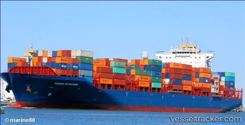
Vessel 563127500 IMO: 9656137, MMSI: 563127500
UTC, 16.33833, 110.99333, course: -1, speed: 16
UTC, 16.04342, 110.91249, course: 194, speed: 16.3
2026-01-31 01:22:41 UTC, 16.04342, 110.91249, course: 194, speed: 16.3
Live AIS position:
UTC. 126 nm E of Dung Quat Petroleum Port),
updated 2026-01-31 01:22:41 UTC.
Find the position of the vessel 563127500 on the map. The latter are known coordinates and path.
marine traffic ship tracker show on live map
The current position of vessel 563127500 is 16.04342 lat / 110.91249 lng. Updated: 2026-01-31 01:22:41 UTCDetails:
Last coordinates of the vessel:
UTC, 16.33833, 110.99333, course: -1, speed: 16UTC, 16.33833, 110.99333, course: -1, speed: 16
UTC, 16.04342, 110.91249, course: 194, speed: 16.3
2026-01-31 01:22:41 UTC, 16.04342, 110.91249, course: 194, speed: 16.3