 vesseltracker.com
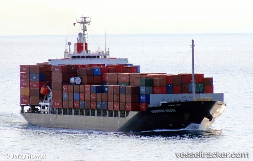
Vessel 563129600 IMO: 9470739, MMSI: 563129600
UTC, 8.62013, 104.22474, course: 124, speed: 15.2
UTC, 8.37932, 104.58120, course: 123, speed: 15.5
2026-02-16 01:07:53 UTC, 8.27041, 104.91825, course: 87, speed: 16.2
Live AIS position:
UTC. 33 nm S of Nam Can Port),
updated 2026-02-16 01:07:53 UTC.
Find the position of the vessel 563129600 on the map. The latter are known coordinates and path.
marine traffic ship tracker show on live map
The current position of vessel 563129600 is 8.27041 lat / 104.91825 lng. Updated: 2026-02-16 01:07:53 UTCDetails:
Last coordinates of the vessel:
UTC, 10.07588, 102.69098, course: 135, speed: 17.3UTC, 8.62013, 104.22474, course: 124, speed: 15.2
UTC, 8.37932, 104.58120, course: 123, speed: 15.5
2026-02-16 01:07:53 UTC, 8.27041, 104.91825, course: 87, speed: 16.2