 vesseltracker.com
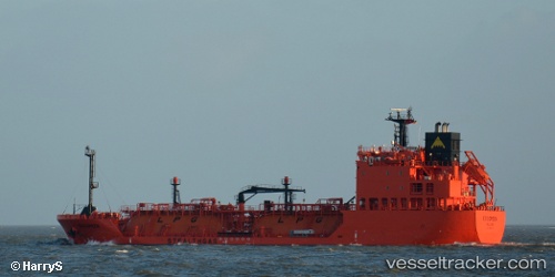
Vessel BENRIACH IMO: 9658367, MMSI: 563218400 Tanker
UTC, -8.71612, 13.29425, course: 99, speed: 0.1
UTC, -8.71682, 13.29449, course: 45, speed: 0.2
2026-02-24 09:39:38 UTC, -8.71679, 13.29452, course: 35, speed: 0.1
Live AIS position:
UTC. Near Luanda),
updated 2026-02-24 09:39:38 UTC.
Find the position of the vessel BENRIACH on the map. The latter are known coordinates and path.
marine traffic ship tracker show on live map
The current position of vessel BENRIACH is -8.71679 lat / 13.29452 lng. Updated: 2026-02-24 09:39:38 UTCCurrently sailing under the flag of Singapore
Details:
Last coordinates of the vessel:
UTC, -8.71603, 13.29441, course: 116, speed: 0.4UTC, -8.71612, 13.29425, course: 99, speed: 0.1
UTC, -8.71682, 13.29449, course: 45, speed: 0.2
2026-02-24 09:39:38 UTC, -8.71679, 13.29452, course: 35, speed: 0.1