 vesseltracker.com
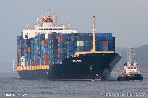
Vessel KOTA KAYA IMO: 9307401, MMSI: 563272200 Container Ship
UTC, 5.46788, 93.61066, course: 250, speed: 15.7
UTC, 5.39142, 93.38658, course: 250, speed: 15.8
2026-02-26 11:25:46 UTC, 5.22162, 92.90006, course: -1, speed: 15.3
Live AIS position:
UTC. 141 nm W of LHOKNGA),
updated 2026-02-26 11:25:46 UTC.
Find the position of the vessel KOTA KAYA on the map. The latter are known coordinates and path.
marine traffic ship tracker show on live map
The current position of vessel KOTA KAYA is 5.22162 lat / 92.90006 lng. Updated: 2026-02-26 11:25:46 UTCCurrently sailing under the flag of Singapore
Details:
Last coordinates of the vessel:
UTC, 5.68478, 94.23170, course: 253, speed: 15.1UTC, 5.46788, 93.61066, course: 250, speed: 15.7
UTC, 5.39142, 93.38658, course: 250, speed: 15.8
2026-02-26 11:25:46 UTC, 5.22162, 92.90006, course: -1, speed: 15.3