 vesseltracker.com
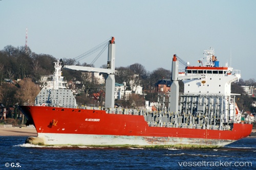
Vessel GFS ROJA IMO: 9406960, MMSI: 563298800 Container Ship
UTC, -6.15333, 39.19167, course: -1, speed: 0
UTC, -6.15333, 39.19167, course: -1, speed: 0
2026-02-25 16:08:02 UTC, -6.15473, 39.19199, course: -1, speed: 0
Live AIS position:
UTC. Near Zanzibar),
updated 2026-02-25 16:08:02 UTC.
Find the position of the vessel GFS ROJA on the map. The latter are known coordinates and path.
marine traffic ship tracker show on live map
The current position of vessel GFS ROJA is -6.15473 lat / 39.19199 lng. Updated: 2026-02-25 16:08:02 UTCCurrently sailing under the flag of Singapore
Details:
Last coordinates of the vessel:
UTC, -6.15333, 39.19167, course: -1, speed: 0UTC, -6.15333, 39.19167, course: -1, speed: 0
UTC, -6.15333, 39.19167, course: -1, speed: 0
2026-02-25 16:08:02 UTC, -6.15473, 39.19199, course: -1, speed: 0