 vesseltracker.com
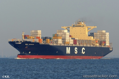
Vessel MSC ANTIGUA IMO: 9619476, MMSI: 563308300 Container Ship
UTC, -34.16414, -52.99642, course: 65, speed: 10.6
UTC, -33.85034, -52.54170, course: 42, speed: 10.3
2026-03-02 03:25:13 UTC, -33.68843, -52.38042, course: 40, speed: 9.7
Live AIS position:
UTC. 50 nm E of Santa Vitória do Palmar),
updated 2026-03-02 03:25:13 UTC.
Find the position of the vessel MSC ANTIGUA on the map. The latter are known coordinates and path.
marine traffic ship tracker show on live map
The current position of vessel MSC ANTIGUA is -33.68843 lat / -52.38042 lng. Updated: 2026-03-02 03:25:13 UTCCurrently sailing under the flag of Singapore
Details:
Last coordinates of the vessel:
UTC, -34.39207, -53.35605, course: 41, speed: 10.9UTC, -34.16414, -52.99642, course: 65, speed: 10.6
UTC, -33.85034, -52.54170, course: 42, speed: 10.3
2026-03-02 03:25:13 UTC, -33.68843, -52.38042, course: 40, speed: 9.7