 vesseltracker.com
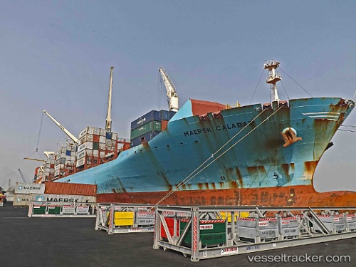
Vessel Maersk Calabar IMO: 9525302, MMSI: 564360000 Container Ship
UTC, 33.56023, -29.94693, course: 86, speed: 9.3
UTC, 33.57523, -29.81060, course: 88, speed: 9.7
2026-02-18 01:26:08 UTC, 33.61995, -29.37023, course: 89, speed: 9.3
Live AIS position:
UTC. 287 nm SW of Villa Do Porto),
updated 2026-02-18 01:26:08 UTC.
Find the position of the vessel Maersk Calabar on the map. The latter are known coordinates and path.
marine traffic ship tracker show on live map
The current position of vessel Maersk Calabar is 33.61995 lat / -29.37023 lng. Updated: 2026-02-18 01:26:08 UTCDetails:
Last coordinates of the vessel:
UTC, 33.55227, -30.02473, course: 84, speed: 9.2UTC, 33.56023, -29.94693, course: 86, speed: 9.3
UTC, 33.57523, -29.81060, course: 88, speed: 9.7
2026-02-18 01:26:08 UTC, 33.61995, -29.37023, course: 89, speed: 9.3