 vesseltracker.com
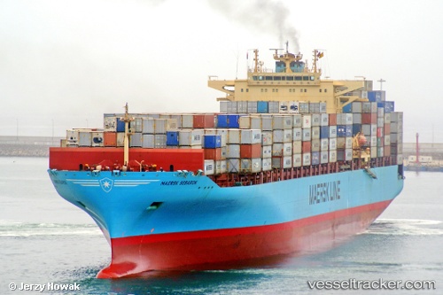
Vessel Maersk Sebarok IMO: 9315238, MMSI: 565451000 Container Ship
UTC, 28.14500, -79.15333, course: -1, speed: 21
UTC, 29.03500, -78.79833, course: -1, speed: 20
2026-01-31 10:29:31 UTC, 29.69500, -78.49500, course: -1, speed: 20
Live AIS position:
UTC. 131 nm NE of John F Kennedy Space Center/Cape Canaveral),
updated 2026-01-31 10:29:31 UTC.
Find the position of the vessel Maersk Sebarok on the map. The latter are known coordinates and path.
marine traffic ship tracker show on live map
The current position of vessel Maersk Sebarok is 29.69500 lat / -78.49500 lng. Updated: 2026-01-31 10:29:31 UTCCurrently sailing under the flag of Singapore
Maersk Sebarok built in 2007 year
Deadweight:
85250 tDetails:
Last coordinates of the vessel:
UTC, 27.45158, -79.31041, course: 16, speed: 22.2UTC, 28.14500, -79.15333, course: -1, speed: 21
UTC, 29.03500, -78.79833, course: -1, speed: 20
2026-01-31 10:29:31 UTC, 29.69500, -78.49500, course: -1, speed: 20