 vesseltracker.com
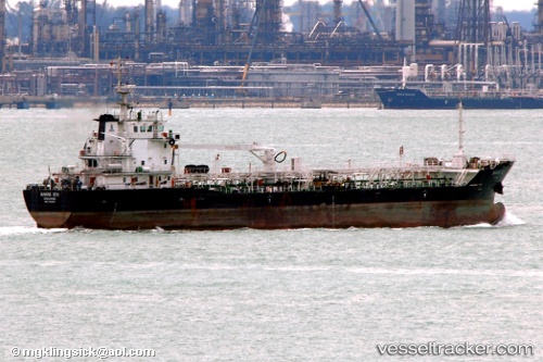
Vessel Marine Ista IMO: 9422823, MMSI: 565678000 Oil Products Tanker
UTC, 24.73280, 66.88063, course: 148, speed: 0
UTC, 24.73263, 66.88170, course: 227, speed: 0
2026-02-03 15:24:56 UTC, 24.73254, 66.88179, course: 242, speed: 0
Live AIS position:
UTC. Near Kiamari),
updated 2026-02-03 15:24:56 UTC.
Find the position of the vessel Marine Ista on the map. The latter are known coordinates and path.
marine traffic ship tracker show on live map
The current position of vessel Marine Ista is 24.73254 lat / 66.88179 lng. Updated: 2026-02-03 15:24:56 UTCDetails:
Last coordinates of the vessel:
UTC, 24.73235, 66.88019, course: 105, speed: 0UTC, 24.73280, 66.88063, course: 148, speed: 0
UTC, 24.73263, 66.88170, course: 227, speed: 0
2026-02-03 15:24:56 UTC, 24.73254, 66.88179, course: 242, speed: 0