 vesseltracker.com
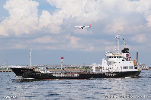
Vessel 567002870 IMO: 9135133, MMSI: 567002870
UTC, 13.14285, 100.88144, course: -1, speed: 0
UTC, 13.14281, 100.88149, course: -1, speed: 0
2026-01-31 01:35:53 UTC, 13.14273, 100.88156, course: -1, speed: 0
Live AIS position:
UTC. Near SIRACHA),
updated 2026-01-31 01:35:53 UTC.
Find the position of the vessel 567002870 on the map. The latter are known coordinates and path.
marine traffic ship tracker show on live map
The current position of vessel 567002870 is 13.14273 lat / 100.88156 lng. Updated: 2026-01-31 01:35:53 UTCDetails:
Last coordinates of the vessel:
UTC, 13.14291, 100.87520, course: -1, speed: 9.3UTC, 13.14285, 100.88144, course: -1, speed: 0
UTC, 13.14281, 100.88149, course: -1, speed: 0
2026-01-31 01:35:53 UTC, 13.14273, 100.88156, course: -1, speed: 0