 vesseltracker.com
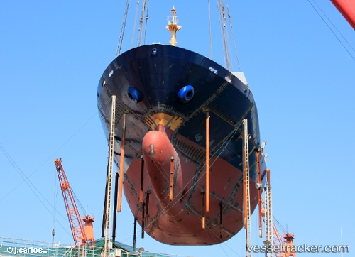
Vessel Intra Bhum IMO: 9491721, MMSI: 567483000 Container Ship
UTC, 34.10606, 136.84676, course: 29, speed: 10
UTC, 34.50534, 137.06128, course: 335, speed: 9.5
2026-02-03 00:22:12 UTC, 34.78641, 136.77464, course: 338, speed: 12.7
Live AIS position:
UTC. Near Mihama),
updated 2026-02-03 00:22:12 UTC.
Find the position of the vessel Intra Bhum on the map. The latter are known coordinates and path.
marine traffic ship tracker show on live map
The current position of vessel Intra Bhum is 34.78641 lat / 136.77464 lng. Updated: 2026-02-03 00:22:12 UTCCurrently sailing under the flag of Thailand
Intra Bhum built in 2013 year
Deadweight:
13021 tDetails:
Last coordinates of the vessel:
UTC, 33.99686, 136.73570, course: 41, speed: 9.4UTC, 34.10606, 136.84676, course: 29, speed: 10
UTC, 34.50534, 137.06128, course: 335, speed: 9.5
2026-02-03 00:22:12 UTC, 34.78641, 136.77464, course: 338, speed: 12.7