 vesseltracker.com
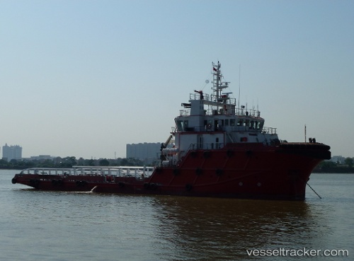
Vessel Rawabi 1 IMO: 9638549, MMSI: 572337210 Offshore Tug Supply Ship
UTC, 28.32061, 49.74869, course: 138, speed: 5.2
UTC, 28.31266, 49.75183, course: 272, speed: 0.2
2026-02-15 15:42:34 UTC, 28.31271, 49.75170, course: 297, speed: 0.1
Live AIS position:
UTC. 46 nm S of Soroosh (Cyrus) Terminal),
updated 2026-02-15 15:42:34 UTC.
Find the position of the vessel Rawabi 1 on the map. The latter are known coordinates and path.
marine traffic ship tracker show on live map
The current position of vessel Rawabi 1 is 28.31271 lat / 49.75170 lng. Updated: 2026-02-15 15:42:34 UTCDetails:
Last coordinates of the vessel:
UTC, 28.36309, 49.61192, course: 137, speed: 7.6UTC, 28.32061, 49.74869, course: 138, speed: 5.2
UTC, 28.31266, 49.75183, course: 272, speed: 0.2
2026-02-15 15:42:34 UTC, 28.31271, 49.75170, course: 297, speed: 0.1