 vesseltracker.com
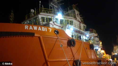
Vessel RAWABI 7 IMO: 9651424, MMSI: 572674220 Other Type
UTC, 28.19544, 49.26015, course: 103, speed: 0.3
UTC, 28.18306, 49.29464, course: 142, speed: 1.3
2026-02-27 19:53:33 UTC, 28.16498, 49.31759, course: 12, speed: 1.1
Live AIS position:
UTC. 32 nm E of Bandar Al Mishab),
updated 2026-02-27 19:53:33 UTC.
Find the position of the vessel RAWABI 7 on the map. The latter are known coordinates and path.
marine traffic ship tracker show on live map
The current position of vessel RAWABI 7 is 28.16498 lat / 49.31759 lng. Updated: 2026-02-27 19:53:33 UTCCurrently sailing under the flag of Tuvalu
Details:
Last coordinates of the vessel:
UTC, 28.19483, 49.24323, course: 102, speed: 0.5UTC, 28.19544, 49.26015, course: 103, speed: 0.3
UTC, 28.18306, 49.29464, course: 142, speed: 1.3
2026-02-27 19:53:33 UTC, 28.16498, 49.31759, course: 12, speed: 1.1