 vesseltracker.com
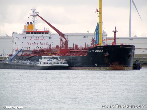
Vessel DURGA IMO: 9260005, MMSI: 572861220 Oil/Chemical Tanker
UTC, 39.24746, 25.77093, course: 0, speed: 12.8
UTC, 39.69298, 25.87869, course: -1, speed: 13
2026-02-25 16:00:09 UTC, 39.77714, 25.94144, course: -1, speed: 0.1
Live AIS position:
UTC. Near Bozcaada),
updated 2026-02-25 16:00:09 UTC.
Find the position of the vessel DURGA on the map. The latter are known coordinates and path.
marine traffic ship tracker show on live map
The current position of vessel DURGA is 39.77714 lat / 25.94144 lng. Updated: 2026-02-25 16:00:09 UTCCurrently sailing under the flag of Tuvalu
Details:
Last coordinates of the vessel:
UTC, 38.60935, 25.76736, course: -1, speed: 13.6UTC, 39.24746, 25.77093, course: 0, speed: 12.8
UTC, 39.69298, 25.87869, course: -1, speed: 13
2026-02-25 16:00:09 UTC, 39.77714, 25.94144, course: -1, speed: 0.1