 vesseltracker.com
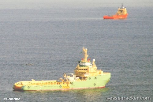
Vessel 574004530 IMO: 9427653, MMSI: 574004530
UTC, 5.15502, 98.50790, course: 139, speed: 8.9
UTC, 4.85369, 98.81815, course: 141, speed: 8.3
2026-02-19 22:00:41 UTC, 4.70690, 98.96255, course: 141, speed: 7.8
Live AIS position:
UTC. 57 nm NE of PANGKALAN SUSU),
updated 2026-02-19 22:00:41 UTC.
Find the position of the vessel 574004530 on the map. The latter are known coordinates and path.
marine traffic ship tracker show on live map
The current position of vessel 574004530 is 4.70690 lat / 98.96255 lng. Updated: 2026-02-19 22:00:41 UTCDetails:
Last coordinates of the vessel:
UTC, 5.30191, 98.35699, course: 138, speed: 8.6UTC, 5.15502, 98.50790, course: 139, speed: 8.9
UTC, 4.85369, 98.81815, course: 141, speed: 8.3
2026-02-19 22:00:41 UTC, 4.70690, 98.96255, course: 141, speed: 7.8