 vesseltracker.com
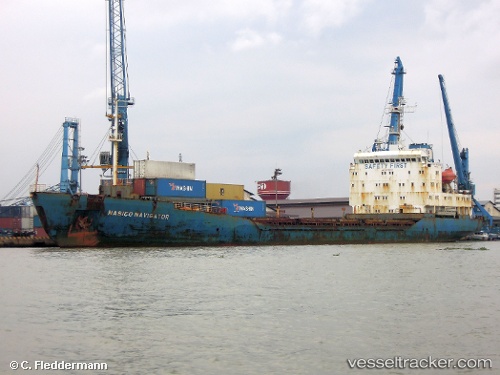
Vessel Nasico Navigator IMO: 9111230, MMSI: 574246000 General Cargo Ship
UTC, 16.11843, 108.21438, course: 52, speed: 0
UTC, 16.36107, 108.11132, course: 327, speed: 10.1
2026-02-14 19:43:26 UTC, 16.56102, 107.95275, course: 318, speed: 9.9
Live AIS position:
UTC. 14 nm N of Chan May Port),
updated 2026-02-14 19:43:26 UTC.
Find the position of the vessel Nasico Navigator on the map. The latter are known coordinates and path.
marine traffic ship tracker show on live map
The current position of vessel Nasico Navigator is 16.56102 lat / 107.95275 lng. Updated: 2026-02-14 19:43:26 UTCDetails:
Last coordinates of the vessel:
UTC, 16.11840, 108.21438, course: 52, speed: 0UTC, 16.11843, 108.21438, course: 52, speed: 0
UTC, 16.36107, 108.11132, course: 327, speed: 10.1
2026-02-14 19:43:26 UTC, 16.56102, 107.95275, course: 318, speed: 9.9