 vesseltracker.com
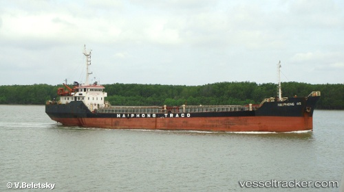
Vessel Hoang Tuan 26 IMO: 9399959, MMSI: 574366000 General Cargo Ship
UTC, 19.76743, 109.16315, course: -1, speed: 0
UTC, 19.69010, 109.03532, course: -1, speed: 8.7
2026-02-23 03:56:30 UTC, 19.51972, 108.75718, course: -1, speed: 9.3
Live AIS position:
UTC. 26 nm N of Basuo Gang),
updated 2026-02-23 03:56:30 UTC.
Find the position of the vessel Hoang Tuan 26 on the map. The latter are known coordinates and path.
marine traffic ship tracker show on live map
The current position of vessel Hoang Tuan 26 is 19.51972 lat / 108.75718 lng. Updated: 2026-02-23 03:56:30 UTCDetails:
Last coordinates of the vessel:
UTC, 19.76747, 109.16317, course: -1, speed: 0.1UTC, 19.76743, 109.16315, course: -1, speed: 0
UTC, 19.69010, 109.03532, course: -1, speed: 8.7
2026-02-23 03:56:30 UTC, 19.51972, 108.75718, course: -1, speed: 9.3