 vesseltracker.com
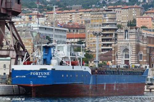
Vessel BAHAMAS AGGRESSOR II IMO: 8415706, MMSI: 577276000 General Cargo
UTC, 24.75707, -76.29800, course: -1, speed: 0.1
UTC, 24.75709, -76.29801, course: -1, speed: 0.2
2026-02-26 13:21:21 UTC, 24.81726, -76.35417, course: -1, speed: 0.6
Live AIS position:
UTC. Near Cape Eleuthera),
updated 2026-02-26 13:21:21 UTC.
Find the position of the vessel BAHAMAS AGGRESSOR II on the map. The latter are known coordinates and path.
marine traffic ship tracker show on live map
The current position of vessel BAHAMAS AGGRESSOR II is 24.81726 lat / -76.35417 lng. Updated: 2026-02-26 13:21:21 UTCCurrently sailing under the flag of Vanuatu
Details:
Last coordinates of the vessel:
UTC, 24.75733, -76.29794, course: -1, speed: 0.5UTC, 24.75707, -76.29800, course: -1, speed: 0.1
UTC, 24.75709, -76.29801, course: -1, speed: 0.2
2026-02-26 13:21:21 UTC, 24.81726, -76.35417, course: -1, speed: 0.6