.
vessel ABANA IMO: 9158070, General Cargo Ship vesseltracker.com
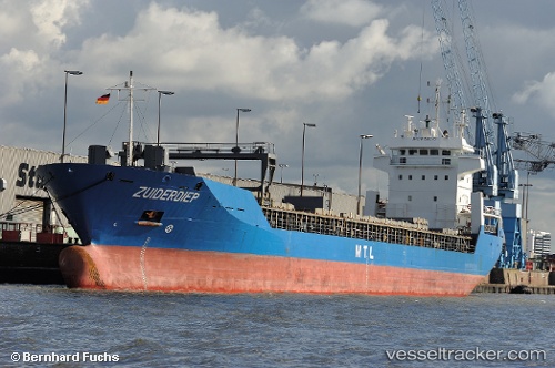
Vessel ABANA IMO: 9158070, MMSI: 577478000 General Cargo Ship

callsign: YJWX8
size: 121x16

Live AIS position: UTC. Near Kaunispe), updated 2023-01-10 18:01:27 UTC.

Find the position of the vessel ABANA on the map. The latter are known coordinates and path.

marine traffic ship tracker show on live map

The current position of vessel ABANA is 58.11192 lat / 21.99673 lng. Updated: 2023-01-10 18:01:27 UTC

Currently sailing under the flag of Vanuatu

ABANA built in 1998 year

Deadweight:
8302 t

Details:


Last coordinates of the vessel:
2023-01-10 18:01:27 UTC, 58.11192, 21.99673, course: 156, speed: 2.7


Most frequent ports a vessels calls at ABANA (577478000):

Ferrol, traffic: 2
La Coruna , traffic: 1
Gebze, traffic: 1
Cuxhaven, traffic: 1
Gemlick, traffic: 1
Iskenderun, traffic: 1
Kiel, traffic: 1
Maltepe, traffic: 1
Nord-Ostsee-Kanal, traffic: 1
Ruch’I, traffic: 1
Ust-Luga, traffic: 1
Canakkale, traffic: 1
Ambarli, traffic: 1

Link to the map:


Find another ship

ABANA (577478000) last ports (portcalls and passsages)

Maltepe | 2023-02-23 17:33:22
Gemlick | 2023-02-22 21:07:16
Gebze | 2023-02-21 23:05:48
Ambarli | 2023-02-21 05:58:29
Canakkale | 2023-02-20 17:18:20
Iskenderun | 2023-02-14 23:32:26
Ferrol | 2023-01-25 23:12:31
La Coruna | 2023-01-23 12:08:48
Ferrol | 2023-01-20 20:50:33
Cuxhaven | 2023-01-13 21:06:40
Nord-Ostsee-Kanal | 2023-01-13 08:45:54
Ust-Luga | 2023-01-08 06:03:54
Ruch’I | 2023-01-07 17:24:57