 vesseltracker.com
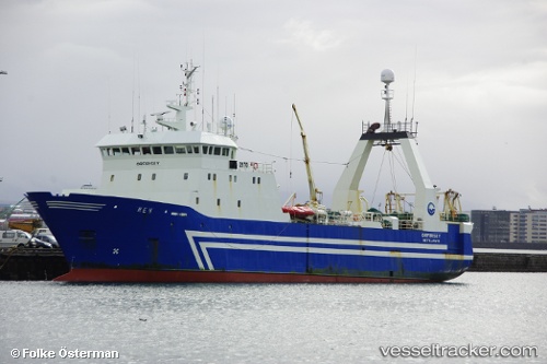
Vessel UMLUNGISI IMO: 8704975, MMSI: 601032670 Fishing
UTC, -36.69455, 21.53631, course: 251, speed: 3.4
UTC, -36.72722, 21.43013, course: 247, speed: 3.4
2026-02-25 18:01:20 UTC, -36.77437, 21.31744, course: 243, speed: 3.5
Live AIS position:
UTC. 133 nm SE of Cape Agulhas),
updated 2026-02-25 18:01:20 UTC.
Find the position of the vessel UMLUNGISI on the map. The latter are known coordinates and path.
marine traffic ship tracker show on live map
The current position of vessel UMLUNGISI is -36.77437 lat / 21.31744 lng. Updated: 2026-02-25 18:01:20 UTCCurrently sailing under the flag of South Africa
Details:
Last coordinates of the vessel:
UTC, -36.66429, 21.63836, course: 0, speed: 4.9UTC, -36.69455, 21.53631, course: 251, speed: 3.4
UTC, -36.72722, 21.43013, course: 247, speed: 3.4
2026-02-25 18:01:20 UTC, -36.77437, 21.31744, course: 243, speed: 3.5