 vesseltracker.com
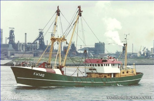
Vessel Key Largo IMO: 7325409, MMSI: 601491000 Fishing Vessel
UTC, -33.90458, 18.42831, course: -1, speed: 0
2026-02-26 10:05:41 UTC, -33.90458, 18.42831, course: -1, speed: 0
Live AIS position:
UTC. Near Cape Town),
updated 2026-02-26 10:05:41 UTC.
Find the position of the vessel Key Largo on the map. The latter are known coordinates and path.
marine traffic ship tracker show on live map
The current position of vessel Key Largo is -33.90458 lat / 18.42831 lng. Updated: 2026-02-26 10:05:41 UTCDetails:
Last coordinates of the vessel:
UTC, -33.90458, 18.42833, course: -1, speed: 0UTC, -33.90458, 18.42831, course: -1, speed: 0
2026-02-26 10:05:41 UTC, -33.90458, 18.42831, course: -1, speed: 0