 vesseltracker.com
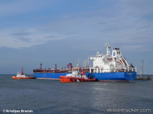
Vessel VAYU 1 IMO: 9290517, MMSI: 613445600 Oil/Chemical Tanker
UTC, 64.59143, 40.71884, course: 10, speed: 51.5
UTC, 64.59143, 40.71884, course: 10, speed: 51.5
2026-02-27 04:27:18 UTC, 64.59143, 40.71884, course: 10, speed: 51.5
Live AIS position:
UTC. Near ARKHANGELSK),
updated 2026-02-27 04:27:18 UTC.
Find the position of the vessel VAYU 1 on the map. The latter are known coordinates and path.
marine traffic ship tracker show on live map
The current position of vessel VAYU 1 is 64.59143 lat / 40.71884 lng. Updated: 2026-02-27 04:27:18 UTCCurrently sailing under the flag of Cameroon
Details:
Last coordinates of the vessel:
UTC, 64.68657, 40.12761, course: 18, speed: 52.2UTC, 64.59143, 40.71884, course: 10, speed: 51.5
UTC, 64.59143, 40.71884, course: 10, speed: 51.5
2026-02-27 04:27:18 UTC, 64.59143, 40.71884, course: 10, speed: 51.5