 vesseltracker.com
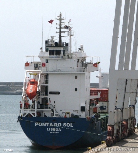
Vessel PONTA DO SOL IMO: 9141613, MMSI: 617104000 General Cargo
UTC, 18.79667, -21.60667, course: -1, speed: 11
UTC, 18.28500, -21.90167, course: -1, speed: 12
2026-02-24 16:29:39 UTC, 17.89833, -22.12500, course: -1, speed: 11
Live AIS position:
UTC. 83 nm NE of Ilha do Sal),
updated 2026-02-24 16:29:39 UTC.
Find the position of the vessel PONTA DO SOL on the map. The latter are known coordinates and path.
marine traffic ship tracker show on live map
The current position of vessel PONTA DO SOL is 17.89833 lat / -22.12500 lng. Updated: 2026-02-24 16:29:39 UTCCurrently sailing under the flag of Cabo Verde
Details:
Last coordinates of the vessel:
UTC, 19.06500, -21.46167, course: -1, speed: 11UTC, 18.79667, -21.60667, course: -1, speed: 11
UTC, 18.28500, -21.90167, course: -1, speed: 12
2026-02-24 16:29:39 UTC, 17.89833, -22.12500, course: -1, speed: 11