 vesseltracker.com
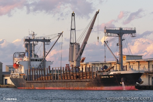
Vessel ROZ Y IMO: 9499931, MMSI: 620999155 General Cargo
UTC, 44.51737, 29.83771, course: 17, speed: 8.5
UTC, 44.58742, 29.86763, course: 17, speed: 8.4
2026-02-27 04:10:27 UTC, 44.58742, 29.86763, course: 17, speed: 8.4
Live AIS position:
UTC. 35 nm S of Sulina (Port et Zone Franche)),
updated 2026-02-27 04:10:27 UTC.
Find the position of the vessel ROZ Y on the map. The latter are known coordinates and path.
marine traffic ship tracker show on live map
The current position of vessel ROZ Y is 44.58742 lat / 29.86763 lng. Updated: 2026-02-27 04:10:27 UTCCurrently sailing under the flag of Comoros
Details:
Last coordinates of the vessel:
UTC, 44.20802, 29.64811, course: 41, speed: 8.7UTC, 44.51737, 29.83771, course: 17, speed: 8.5
UTC, 44.58742, 29.86763, course: 17, speed: 8.4
2026-02-27 04:10:27 UTC, 44.58742, 29.86763, course: 17, speed: 8.4