 vesseltracker.com
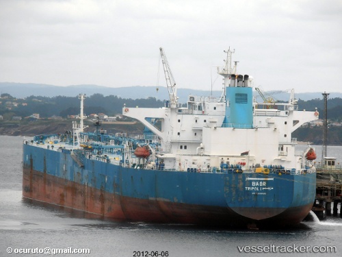
Vessel MIRIAM B IMO: 9356426, MMSI: 630001052 Crude Oil Tanker
UTC, 42.49896, 27.57108, course: -1, speed: 0
UTC, 42.49870, 27.57129, course: -1, speed: 0
2026-02-25 16:07:20 UTC, 42.49927, 27.56667, course: -1, speed: 0.1
Live AIS position:
UTC. Near Burgas),
updated 2026-02-25 16:07:20 UTC.
Find the position of the vessel MIRIAM B on the map. The latter are known coordinates and path.
marine traffic ship tracker show on live map
The current position of vessel MIRIAM B is 42.49927 lat / 27.56667 lng. Updated: 2026-02-25 16:07:20 UTCCurrently sailing under the flag of Guinea
Details:
Last coordinates of the vessel:
UTC, 42.49852, 27.57152, course: -1, speed: 0UTC, 42.49896, 27.57108, course: -1, speed: 0
UTC, 42.49870, 27.57129, course: -1, speed: 0
2026-02-25 16:07:20 UTC, 42.49927, 27.56667, course: -1, speed: 0.1