 vesseltracker.com
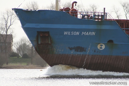
Vessel A.M.K. MARIN IMO: 7610103, MMSI: 630001068 Bulk Carrier
UTC, 41.29228, 36.36044, course: 319, speed: 0.1
UTC, 41.29228, 36.36044, course: 319, speed: 0.1
2026-02-25 22:58:07 UTC, 41.29228, 36.36044, course: 319, speed: 0.1
Live AIS position:
UTC. Near Samsun),
updated 2026-02-25 22:58:07 UTC.
Find the position of the vessel A.M.K. MARIN on the map. The latter are known coordinates and path.
marine traffic ship tracker show on live map
The current position of vessel A.M.K. MARIN is 41.29228 lat / 36.36044 lng. Updated: 2026-02-25 22:58:07 UTCCurrently sailing under the flag of Guinea
Details:
Last coordinates of the vessel:
UTC, 41.29240, 36.36026, course: 317, speed: 0.2UTC, 41.29228, 36.36044, course: 319, speed: 0.1
UTC, 41.29228, 36.36044, course: 319, speed: 0.1
2026-02-25 22:58:07 UTC, 41.29228, 36.36044, course: 319, speed: 0.1