 vesseltracker.com
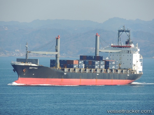
Vessel BARYON IMO: 9151412, MMSI: 630001203 Container Ship
UTC, 21.58577, 68.97957, course: 138, speed: 15.4
UTC, 21.22799, 69.43014, course: 126, speed: 15.7
2026-03-03 05:20:02 UTC, 20.97500, 69.73833, course: -1, speed: 14
Live AIS position:
UTC. 35 nm W of Veraval),
updated 2026-03-03 05:20:02 UTC.
Find the position of the vessel BARYON on the map. The latter are known coordinates and path.
marine traffic ship tracker show on live map
The current position of vessel BARYON is 20.97500 lat / 69.73833 lng. Updated: 2026-03-03 05:20:02 UTCCurrently sailing under the flag of Guinea
Details:
Last coordinates of the vessel:
UTC, 21.89820, 68.84732, course: 157, speed: 15.6UTC, 21.58577, 68.97957, course: 138, speed: 15.4
UTC, 21.22799, 69.43014, course: 126, speed: 15.7
2026-03-03 05:20:02 UTC, 20.97500, 69.73833, course: -1, speed: 14