 vesseltracker.com
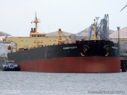
Vessel STARLIT IMO: 9257022, MMSI: 631010103 Crude Oil Tanker
UTC, -29.20856, 44.63154, course: 70, speed: 11.2
UTC, -29.07857, 45.08746, course: 70, speed: 11.2
2026-02-28 03:37:35 UTC, -28.99058, 45.40736, course: 70, speed: 10.7
Live AIS position:
UTC. 222 nm S of Tsiombe),
updated 2026-02-28 03:37:35 UTC.
Find the position of the vessel STARLIT on the map. The latter are known coordinates and path.
marine traffic ship tracker show on live map
The current position of vessel STARLIT is -28.99058 lat / 45.40736 lng. Updated: 2026-02-28 03:37:35 UTCCurrently sailing under the flag of Equatorial Guinea
Details:
Last coordinates of the vessel:
UTC, -29.34533, 44.15728, course: 70, speed: 11.2UTC, -29.20856, 44.63154, course: 70, speed: 11.2
UTC, -29.07857, 45.08746, course: 70, speed: 11.2
2026-02-28 03:37:35 UTC, -28.99058, 45.40736, course: 70, speed: 10.7