 vesseltracker.com
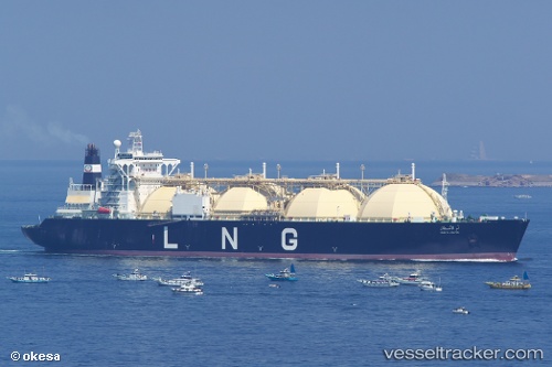
Vessel Umm Al Ashtan IMO: 9074652, MMSI: 636010647 Lng Tanker
UTC, 25.09176, 52.96950, course: 80, speed: 0
UTC, 25.09029, 52.97016, course: 44, speed: 0.3
2026-02-20 15:27:56 UTC, 25.09001, 52.97266, course: 327, speed: 0.1
Live AIS position:
UTC. Near Das Island),
updated 2026-02-20 15:27:56 UTC.
Find the position of the vessel Umm Al Ashtan on the map. The latter are known coordinates and path.
marine traffic ship tracker show on live map
The current position of vessel Umm Al Ashtan is 25.09001 lat / 52.97266 lng. Updated: 2026-02-20 15:27:56 UTCDetails:
Last coordinates of the vessel:
UTC, 25.08957, 52.97122, course: 0, speed: 0.4UTC, 25.09176, 52.96950, course: 80, speed: 0
UTC, 25.09029, 52.97016, course: 44, speed: 0.3
2026-02-20 15:27:56 UTC, 25.09001, 52.97266, course: 327, speed: 0.1