 vesseltracker.com
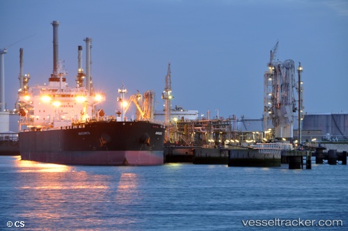
Vessel Margarita IMO: 9426594, MMSI: 636013376 Crude Oil Tanker
UTC, 59.72991, 28.39028, course: 192, speed: 7.1
UTC, 59.71758, 28.39103, course: 169, speed: 8
2026-02-21 07:34:59 UTC, 59.71758, 28.39103, course: 169, speed: 8
Live AIS position:
UTC. Near Ust-Luga),
updated 2026-02-21 07:34:59 UTC.
Find the position of the vessel Margarita on the map. The latter are known coordinates and path.
marine traffic ship tracker show on live map
The current position of vessel Margarita is 59.71758 lat / 28.39103 lng. Updated: 2026-02-21 07:34:59 UTCDetails:
Last coordinates of the vessel:
UTC, 59.85258, 28.42848, course: 170, speed: 8.9UTC, 59.72991, 28.39028, course: 192, speed: 7.1
UTC, 59.71758, 28.39103, course: 169, speed: 8
2026-02-21 07:34:59 UTC, 59.71758, 28.39103, course: 169, speed: 8