 vesseltracker.com
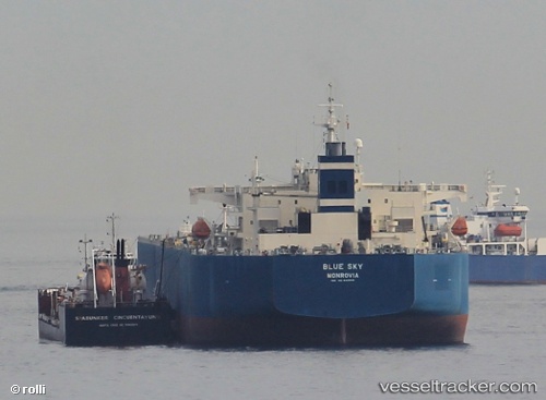
Vessel Blue Sky IMO: 9413016, MMSI: 636014378 Crude Oil Tanker
UTC, 36.70968, -28.20483, course: 272, speed: 13.6
UTC, 36.70720, -28.75435, course: 270, speed: 13.5
2026-02-28 22:56:17 UTC, 36.70012, -29.10993, course: 270, speed: 13.5
Live AIS position:
UTC. 109 nm S of Lajes),
updated 2026-02-28 22:56:17 UTC.
Find the position of the vessel Blue Sky on the map. The latter are known coordinates and path.
marine traffic ship tracker show on live map
The current position of vessel Blue Sky is 36.70012 lat / -29.10993 lng. Updated: 2026-02-28 22:56:17 UTCCurrently sailing under the flag of Liberia
Blue Sky built in 2009 year
Deadweight:
105491 tDetails:
Last coordinates of the vessel:
UTC, 36.71863, -27.57118, course: 272, speed: 13.3UTC, 36.70968, -28.20483, course: 272, speed: 13.6
UTC, 36.70720, -28.75435, course: 270, speed: 13.5
2026-02-28 22:56:17 UTC, 36.70012, -29.10993, course: 270, speed: 13.5