 vesseltracker.com
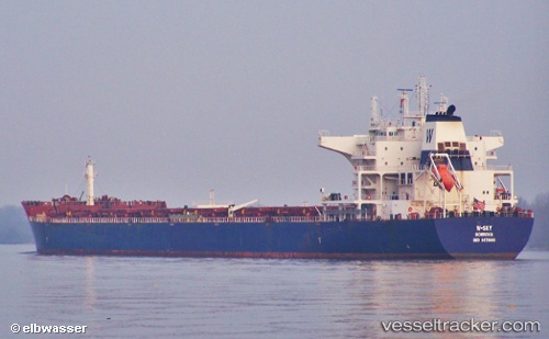
Vessel W sky IMO: 9476666, MMSI: 636014568 Bulk Carrier
UTC, 15.39867, 108.78987, course: 178, speed: 0
UTC, 15.39863, 108.78987, course: 179, speed: 0
2026-02-01 09:33:49 UTC, 15.39867, 108.79000, course: 178, speed: 0
Live AIS position:
UTC. Near DUNG QUAT),
updated 2026-02-01 09:33:49 UTC.
Find the position of the vessel W sky on the map. The latter are known coordinates and path.
marine traffic ship tracker show on live map
The current position of vessel W sky is 15.39867 lat / 108.79000 lng. Updated: 2026-02-01 09:33:49 UTCDetails:
Last coordinates of the vessel:
UTC, 15.39863, 108.78986, course: 178, speed: 0UTC, 15.39867, 108.78987, course: 178, speed: 0
UTC, 15.39863, 108.78987, course: 179, speed: 0
2026-02-01 09:33:49 UTC, 15.39867, 108.79000, course: 178, speed: 0