 vesseltracker.com
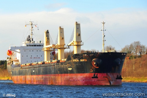
Vessel African Juniper IMO: 9326330, MMSI: 636015658 Bulk Carrier
UTC, -22.95187, 14.49512, course: 41, speed: 0
UTC, -22.93033, 14.49691, course: 358, speed: 7.1
2026-02-09 12:10:07 UTC, -22.62692, 14.34634, course: 321, speed: 11.9
Live AIS position:
UTC. 21 nm NW of WALVIS BAY),
updated 2026-02-09 12:10:07 UTC.
Find the position of the vessel African Juniper on the map. The latter are known coordinates and path.
marine traffic ship tracker show on live map
The current position of vessel African Juniper is -22.62692 lat / 14.34634 lng. Updated: 2026-02-09 12:10:07 UTCDetails:
Last coordinates of the vessel:
UTC, -22.95186, 14.49510, course: 41, speed: 0UTC, -22.95187, 14.49512, course: 41, speed: 0
UTC, -22.93033, 14.49691, course: 358, speed: 7.1
2026-02-09 12:10:07 UTC, -22.62692, 14.34634, course: 321, speed: 11.9