 vesseltracker.com
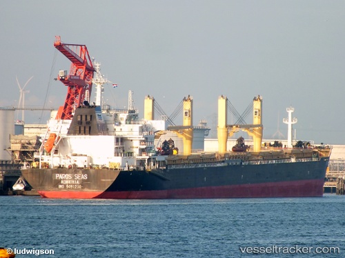
Vessel Dayang Century IMO: 9491238, MMSI: 636015848 Bulk Carrier
UTC, 2.89333, 3.59167, course: -1, speed: 10
UTC, 3.07271, 3.59105, course: 356, speed: 10
2026-03-02 02:19:15 UTC, 3.60094, 3.56033, course: 1, speed: 10.2
Live AIS position:
UTC. 88 nm SW of Bonga),
updated 2026-03-02 02:19:15 UTC.
Find the position of the vessel Dayang Century on the map. The latter are known coordinates and path.
marine traffic ship tracker show on live map
The current position of vessel Dayang Century is 3.60094 lat / 3.56033 lng. Updated: 2026-03-02 02:19:15 UTCDetails:
Last coordinates of the vessel:
UTC, 2.54167, 3.59333, course: -1, speed: 10UTC, 2.89333, 3.59167, course: -1, speed: 10
UTC, 3.07271, 3.59105, course: 356, speed: 10
2026-03-02 02:19:15 UTC, 3.60094, 3.56033, course: 1, speed: 10.2