 vesseltracker.com
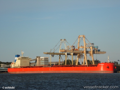
Vessel W Smash IMO: 9625877, MMSI: 636016053 Bulk Carrier
UTC, 50.42732, -149.65540, course: 265, speed: 10.5
UTC, 50.34150, -150.50211, course: 261, speed: 10.2
2026-02-24 05:34:41 UTC, 50.31333, -150.77499, course: -1, speed: 10
Live AIS position:
UTC. 89 nm SW of Drinagh),
updated 2026-02-24 05:34:41 UTC.
Find the position of the vessel W Smash on the map. The latter are known coordinates and path.
marine traffic ship tracker show on live map
The current position of vessel W Smash is 50.31333 lat / -150.77499 lng. Updated: 2026-02-24 05:34:41 UTCDetails:
Last coordinates of the vessel:
UTC, 50.46677, -149.24977, course: 262, speed: 10.2UTC, 50.42732, -149.65540, course: 265, speed: 10.5
UTC, 50.34150, -150.50211, course: 261, speed: 10.2
2026-02-24 05:34:41 UTC, 50.31333, -150.77499, course: -1, speed: 10