 vesseltracker.com
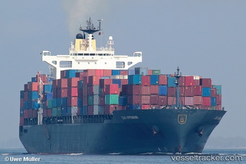
Vessel Msc Rochelle IMO: 9141297, MMSI: 636016476 Container Ship
UTC, 9.35241, -79.91078, course: 54, speed: 0
UTC, 9.35239, -79.91081, course: 53, speed: 0
2026-02-03 17:44:54 UTC, 9.35240, -79.91090, course: 53, speed: 0
Live AIS position:
UTC. Near Colón Free Zone),
updated 2026-02-03 17:44:54 UTC.
Find the position of the vessel Msc Rochelle on the map. The latter are known coordinates and path.
marine traffic ship tracker show on live map
The current position of vessel Msc Rochelle is 9.35240 lat / -79.91090 lng. Updated: 2026-02-03 17:44:54 UTCCurrently sailing under the flag of Liberia
Msc Rochelle built in 1997 year
Deadweight:
62200 tDetails:
Last coordinates of the vessel:
UTC, 9.35234, -79.91079, course: 53, speed: 0UTC, 9.35241, -79.91078, course: 54, speed: 0
UTC, 9.35239, -79.91081, course: 53, speed: 0
2026-02-03 17:44:54 UTC, 9.35240, -79.91090, course: 53, speed: 0