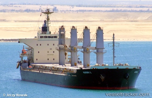
Marina L
Current StatusWhere is the vessel?
Marina L is currently in 21 nm SW of Yesilovacik, based on AIS data received about 15h ago.
Latest AIS update:
Current position: 35.88567° N, 33.47637° E (21 nm SW of Yesilovacik)
Average speed (last 7 days): Loading…
Average speed (last 30 days): Loading…
Vessel profile: Marina L is a Bulk Carrier with dimensions 27m x 169m.
This page combines live AIS, route history, probable destination signals, nearby traffic, and port activity for practical vessel monitoring.
The current position of vessel Marina L is 35.88567 lat / 33.47637 lng. Updated: 2026-05-23 18:19:23 UTCNearest reference points:
- 15 nm SW of Yesilovacik
- 20 nm SW of Yesilovacik
- Near Larnaca
Details:
Live Vessel Marina L Analytics (details, animations, etc.)
Recent AIS points (UTC):
2026-05-23 14:09:32 UTC · 36.13173, 34.47269 · SOG 12.1 kn · COG 250°2026-05-23 15:26:23 UTC · 36.05532, 34.17133 · SOG 12.1 kn · COG 251°
2026-05-23 16:18:03 UTC · 36.00319, 33.96316 · SOG 12.5 kn · COG 250°
2026-05-23 18:19:23 UTC · 35.88567, 33.47637 · SOG 12.2 kn · COG 253°