 vesseltracker.com
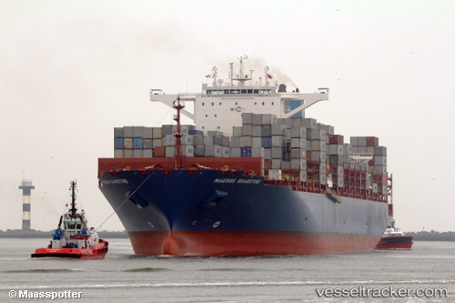
Vessel Maersk Skarstind IMO: 9740457, MMSI: 636017103 Container Ship
UTC, 8.78500, -79.58167, course: -1, speed: 0
UTC, 8.78617, -79.58244, course: 56, speed: 0.1
2026-02-11 00:22:22 UTC, 8.78540, -79.58095, course: 89, speed: 0
Live AIS position:
UTC. Near Melones),
updated 2026-02-11 00:22:22 UTC.
Find the position of the vessel Maersk Skarstind on the map. The latter are known coordinates and path.
marine traffic ship tracker show on live map
The current position of vessel Maersk Skarstind is 8.78540 lat / -79.58095 lng. Updated: 2026-02-11 00:22:22 UTCCurrently sailing under the flag of Liberia
Details:
Last coordinates of the vessel:
UTC, 8.78569, -79.58196, course: 45, speed: 0UTC, 8.78500, -79.58167, course: -1, speed: 0
UTC, 8.78617, -79.58244, course: 56, speed: 0.1
2026-02-11 00:22:22 UTC, 8.78540, -79.58095, course: 89, speed: 0