 vesseltracker.com
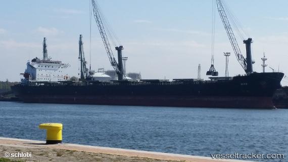
Vessel Dias IMO: 9248904, MMSI: 636017280 Bulk Carrier
UTC, 29.31526, -94.64033, course: 123, speed: 9.5
2026-01-29 02:30:17 UTC, 29.31526, -94.64033, course: 123, speed: 9.5
Live AIS position:
UTC. Near Port Bolivar),
updated 2026-01-29 02:30:17 UTC.
Find the position of the vessel Dias on the map. The latter are known coordinates and path.
marine traffic ship tracker show on live map
The current position of vessel Dias is 29.31526 lat / -94.64033 lng. Updated: 2026-01-29 02:30:17 UTCCurrently sailing under the flag of Liberia
Dias built in 2001 year
Deadweight:
74716 tDetails:
Last coordinates of the vessel:
UTC, 29.31526, -94.64033, course: 123, speed: 9.5UTC, 29.31526, -94.64033, course: 123, speed: 9.5
2026-01-29 02:30:17 UTC, 29.31526, -94.64033, course: 123, speed: 9.5