 vesseltracker.com
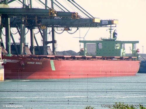
Vessel Cape Merlin IMO: 9346380, MMSI: 636017310 Ore Carrier
UTC, 30.28428, 122.07703, course: 129, speed: 0
UTC, 30.28432, 122.07702, course: 129, speed: 0
2026-02-15 05:37:24 UTC, 30.28423, 122.07705, course: 129, speed: 0
Live AIS position:
UTC. Near JINHAI HEAVY INDUSTR),
updated 2026-02-15 05:37:24 UTC.
Find the position of the vessel Cape Merlin on the map. The latter are known coordinates and path.
marine traffic ship tracker show on live map
The current position of vessel Cape Merlin is 30.28423 lat / 122.07705 lng. Updated: 2026-02-15 05:37:24 UTCCurrently sailing under the flag of Liberia
Cape Merlin built in 2005 year
Deadweight:
206312 tDetails:
Last coordinates of the vessel:
UTC, 30.28428, 122.07703, course: 129, speed: 0.1UTC, 30.28428, 122.07703, course: 129, speed: 0
UTC, 30.28432, 122.07702, course: 129, speed: 0
2026-02-15 05:37:24 UTC, 30.28423, 122.07705, course: 129, speed: 0