 vesseltracker.com
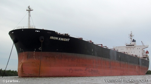
Vessel Donousa IMO: 9284867, MMSI: 636017924 Bulk Carrier
UTC, 21.33134, 113.53069, course: 334, speed: 7.8
UTC, 21.58554, 113.39654, course: 345, speed: 7.7
2026-03-04 23:44:23 UTC, 21.74908, 113.26173, course: 325, speed: 7.2
Live Vessel Donousa Analytics (details, animations, etc.)
Live AIS position: UTC. 10 nm S of Gaolan), updated 2026-03-04 23:44:23 UTC.Find the position of the vessel Donousa on the map. The latter are known coordinates and path.
marine traffic ship tracker show on live map
The current position of vessel Donousa is 21.74908 lat / 113.26173 lng. Updated: 2026-03-04 23:44:23 UTCCurrently sailing under the flag of Liberia
Donousa built in 2004 year
Deadweight:
76429 tDetails:
Last coordinates of the vessel:
UTC, 21.07189, 113.76157, course: -1, speed: 9UTC, 21.33134, 113.53069, course: 334, speed: 7.8
UTC, 21.58554, 113.39654, course: 345, speed: 7.7
2026-03-04 23:44:23 UTC, 21.74908, 113.26173, course: 325, speed: 7.2